A Failed Trip to Rujm al-Hiri
I drove three hours north from Beit Shemesh on Route 90 — past the Dead Sea, through the Jordan Valley, along the edge of the West Bank — to reach a prehistoric stone circle I never actually reached. It was still one of the best trips I've taken.
May 20, 2026
Entry Date: Wednesday, May 20, 2026 | Event Date: Thursday, May 14, 2026
Rujm al-Hiri is a mystical place — if you believe in such things. I'm not entirely sure I do, but standing on the edge of the Golan plateau at sunset, I began to understand why people might. The site, known in Hebrew as Gilgal Refaim (the Wheel of the Giants), is a set of concentric stone circles built from some 40,000 tons of volcanic basalt fieldstones. Research and dating evidence indicates the structure was built at least 5,000 years ago — possibly as early as 6,000 years ago — which makes it roughly contemporary with Stonehenge and the great megalithic monuments of Western Europe.
I never actually got there. This is the story of that failure, and of the remarkable journey that surrounded it.
What Is Rujm al-Hiri?
The name Rujm al-Hiri is Arabic for "stone heap of the wild cat." Its Hebrew name, Gilgal Refaim, translates as "the wheel of the Refaim" — a reference to the biblical Rephaim, a race of giants mentioned in the Book of Deuteronomy who were said to have inhabited the Bashan region east of the Jordan. Whether the name reflects a genuine folk memory of the site's prehistoric builders or is simply a later attempt to explain something inexplicable is an open question.
The structure consists of five to nine concentric stone rings, the outermost of which measures roughly 160 meters in diameter. At the center is a large burial cairn, or tumulus, that was added sometime after the original rings were built. The whole complex covers an area of about 20,000 square meters and is visible from the air — though nearly impossible to appreciate from ground level, which is part of what makes it so difficult to visit.
The Archaeoastronomy Question
For decades, the dominant theory about Rujm al-Hiri was that it functioned as a solar calendar — a monument aligned to track the seasons by marking the rising point of the sun on the summer solstice. The field of archaeoastronomy studies exactly this kind of question: how ancient peoples used monumental architecture to track celestial events, compensating for the fact that the earth's axial wobble means the sky our ancestors saw was not quite the same sky we see today.
The solstice theory gained traction in the 1990s when researchers noted that the main entrance to the central cairn faces the direction of sunrise on the summer solstice. But a 2024–2025 study published in a peer-reviewed journal has challenged this interpretation, arguing that the alignment is not precise enough to have served as a reliable astronomical instrument. The debate is ongoing, and the honest answer is that nobody really knows what Rujm al-Hiri was built for — which is, of course, part of what makes it so compelling.
The Journey: Beit Shemesh to the Golan via Route 90
I left home at around 1:30 in the afternoon — already too late, as it turned out, but I didn't know that yet. The plan was to drop my kids at school, then drive north to the Golan. The route I chose was Route 90, Israel's longest road at roughly 480 kilometers, running the full length of the country from Metula on the Lebanese border in the north to Eilat on the Red Sea in the south.
The section I drove passes through one of the most geopolitically compressed landscapes on earth: a narrow strip of land between the Jordan River on the east and the Palestinian Authority's West Bank territory on the west. The Oslo Accords divided this territory into three administrative zones — Area A (full Palestinian Authority control), Area B (shared civil and security control), and Area C (full Israeli civil and security control). Route 90, for most of its length through the Jordan Valley, runs through Area C.
The road itself is extraordinary. Date palm plantations line the valley floor, their fronds catching the late-afternoon light. Roadside stalls sell fresh dates and produce, their signs written in Hebrew, Arabic, and occasionally English. Near the Adam Crossing — one of the bridges over the Jordan River — I noticed a series of caves in the hillside that appeared to be inhabited, probably by Bedouin families who have lived in this valley for generations.
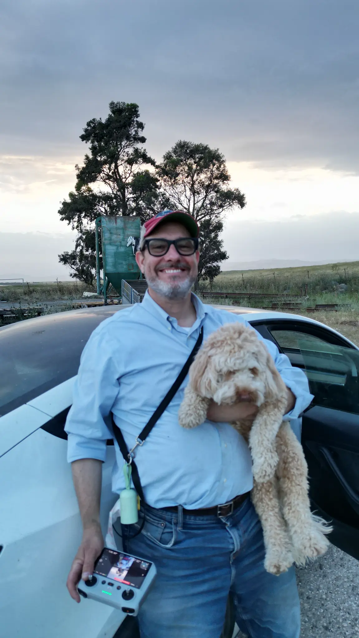
I had been consulting an AI navigation assistant on the drive, which at one point informed me that Rujm al-Hiri was located inside a live military firing zone and was inaccessible without special permission. I called my friend Nani Eisenman, who has visited the site before and knows this country well. He told me this was simply wrong — there are no tanks, no firing ranges, nothing of the sort. The AI had hallucinated a restriction that doesn't exist. A useful reminder about the limits of algorithmic knowledge when it comes to places that are genuinely off the beaten path.

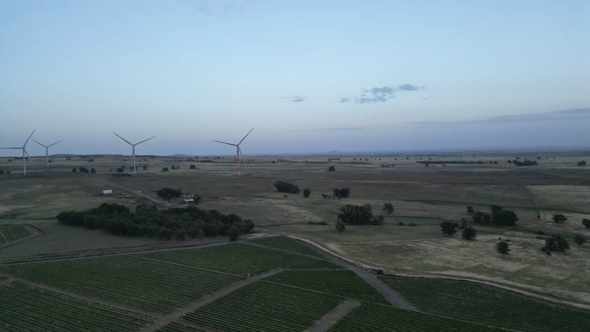
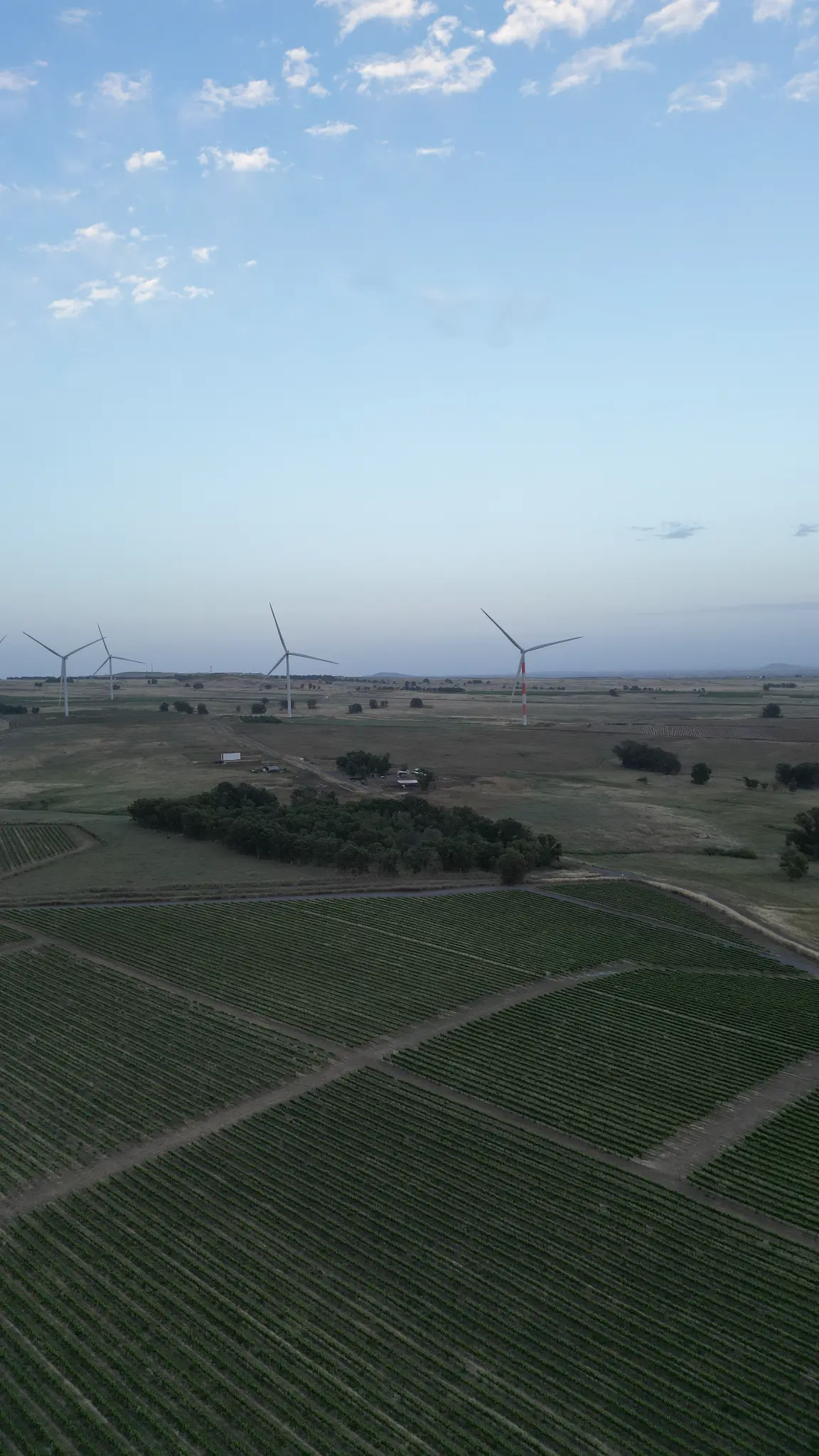
The Wrong Farm, the White Horse, and the Dolmens
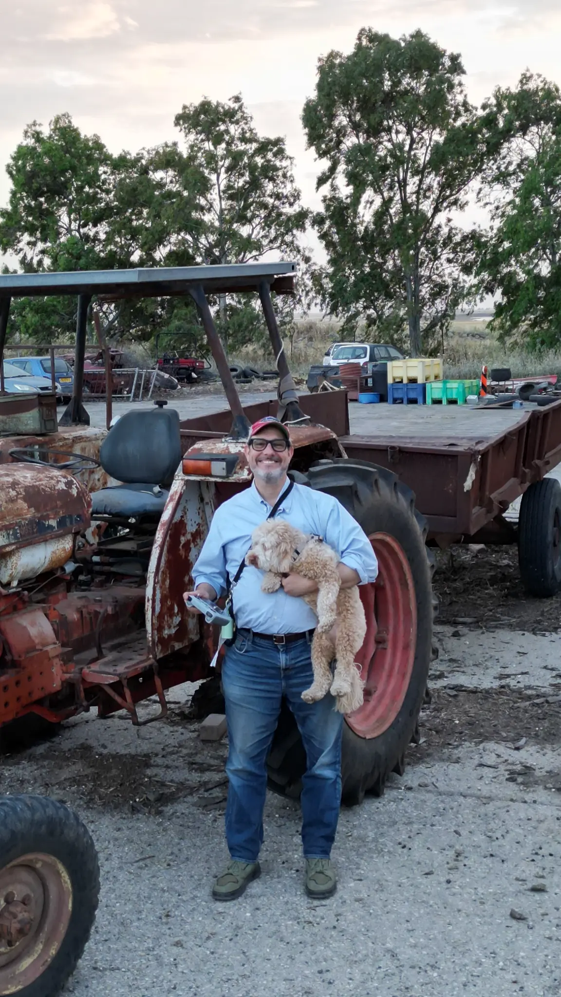
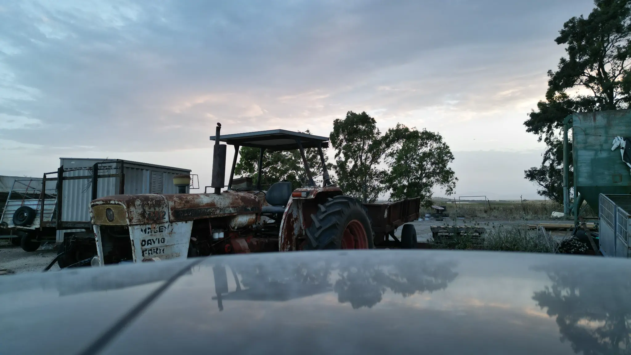
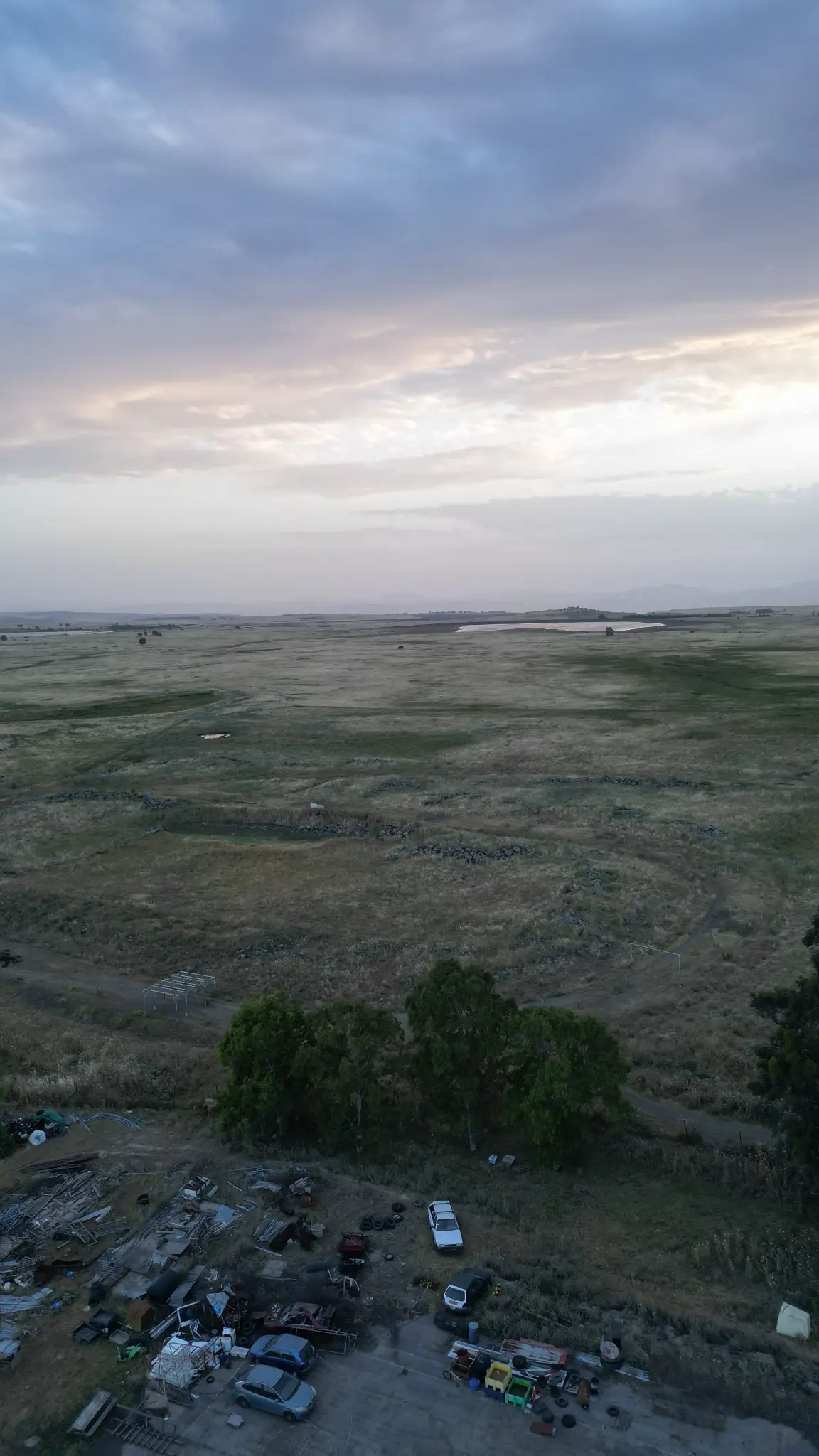
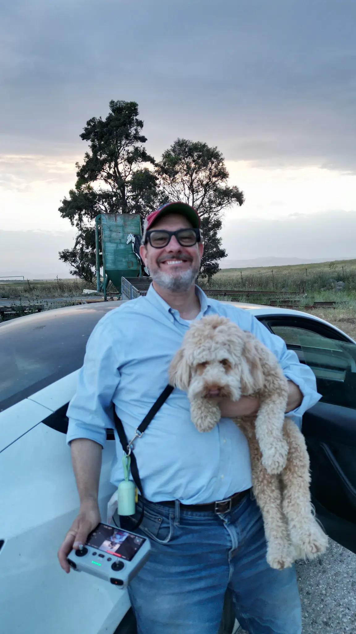
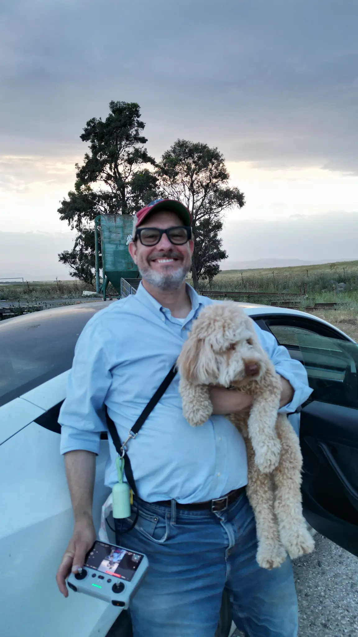
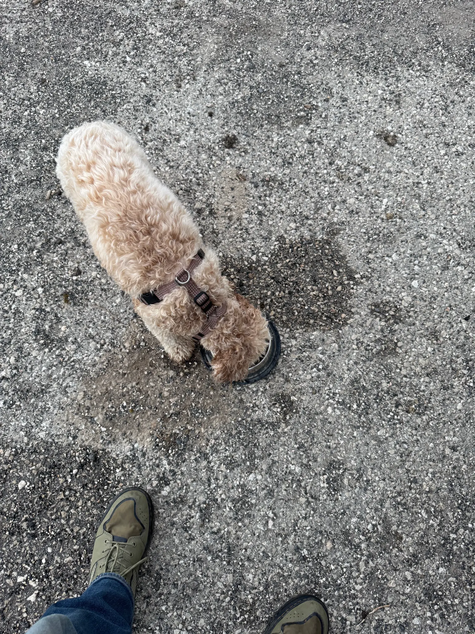
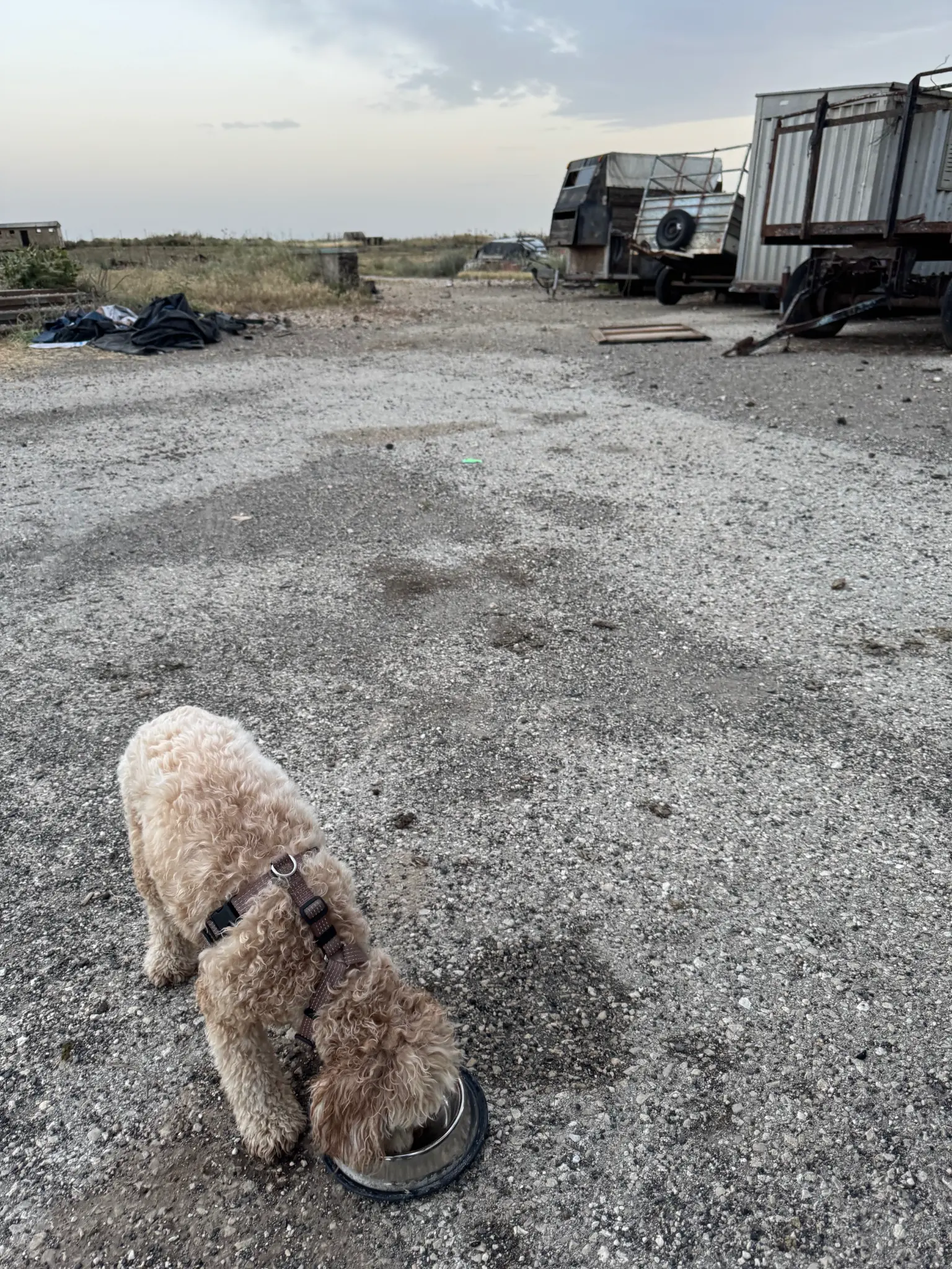
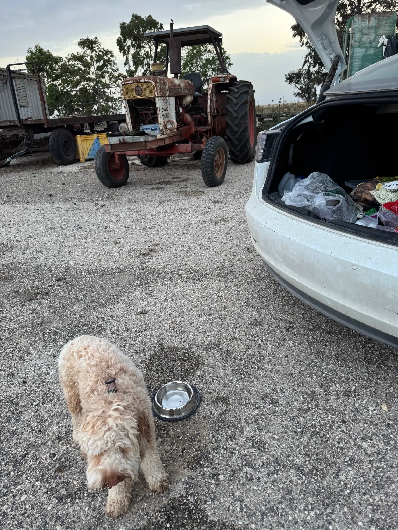
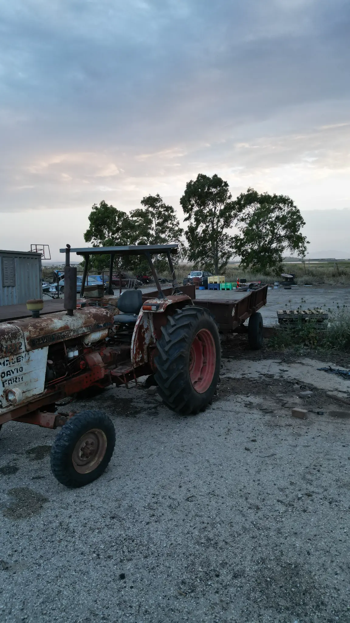
Google Maps took me to the wrong place. Instead of the trailhead for Rujm al-Hiri, I found myself at a small farm — a working agricultural operation with no particular connection to prehistoric stone circles. The men there were hospitable in the way that people in this part of the world often are: they offered me something to drink, which I declined, and then one of them rode off on a white horse. I'm not sure I could have invented a more poetic ending to a wrong turn.
The Golan plateau is scattered with another type of prehistoric monument: dolmens. These are simple megalithic structures — typically a large flat stone resting on two or more upright stones, forming a rough table or chamber. They are thought to be burial markers, though their exact purpose and the civilization that built them remains uncertain. Many archaeologists believe they were constructed by the same prehistoric people who built Rujm al-Hiri, sometime in the Chalcolithic or Early Bronze Age.
I couldn't get close enough to confirm whether what I was seeing from the road were actual dolmens or simply the natural scatter of basalt fieldstones that covers the entire plateau. The Golan has an estimated 8,500 dolmens — the largest concentration in the world — so the odds were good.
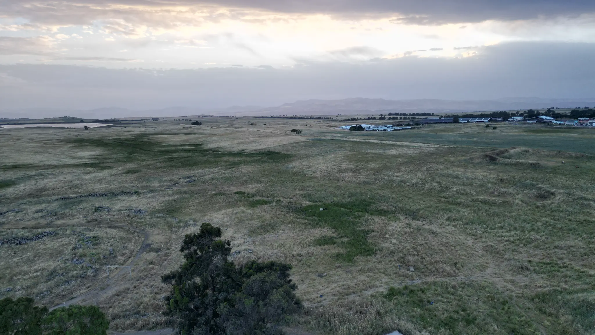
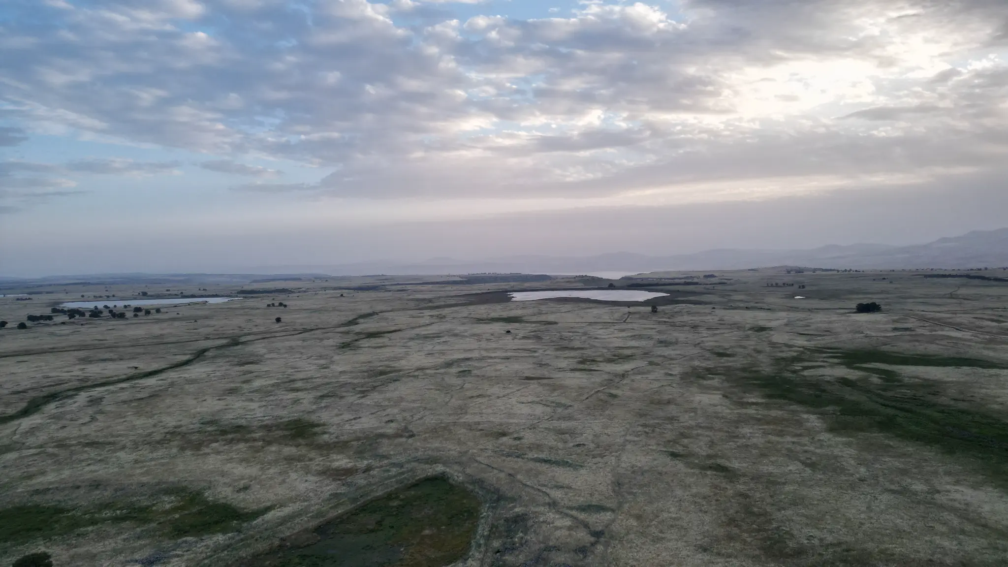
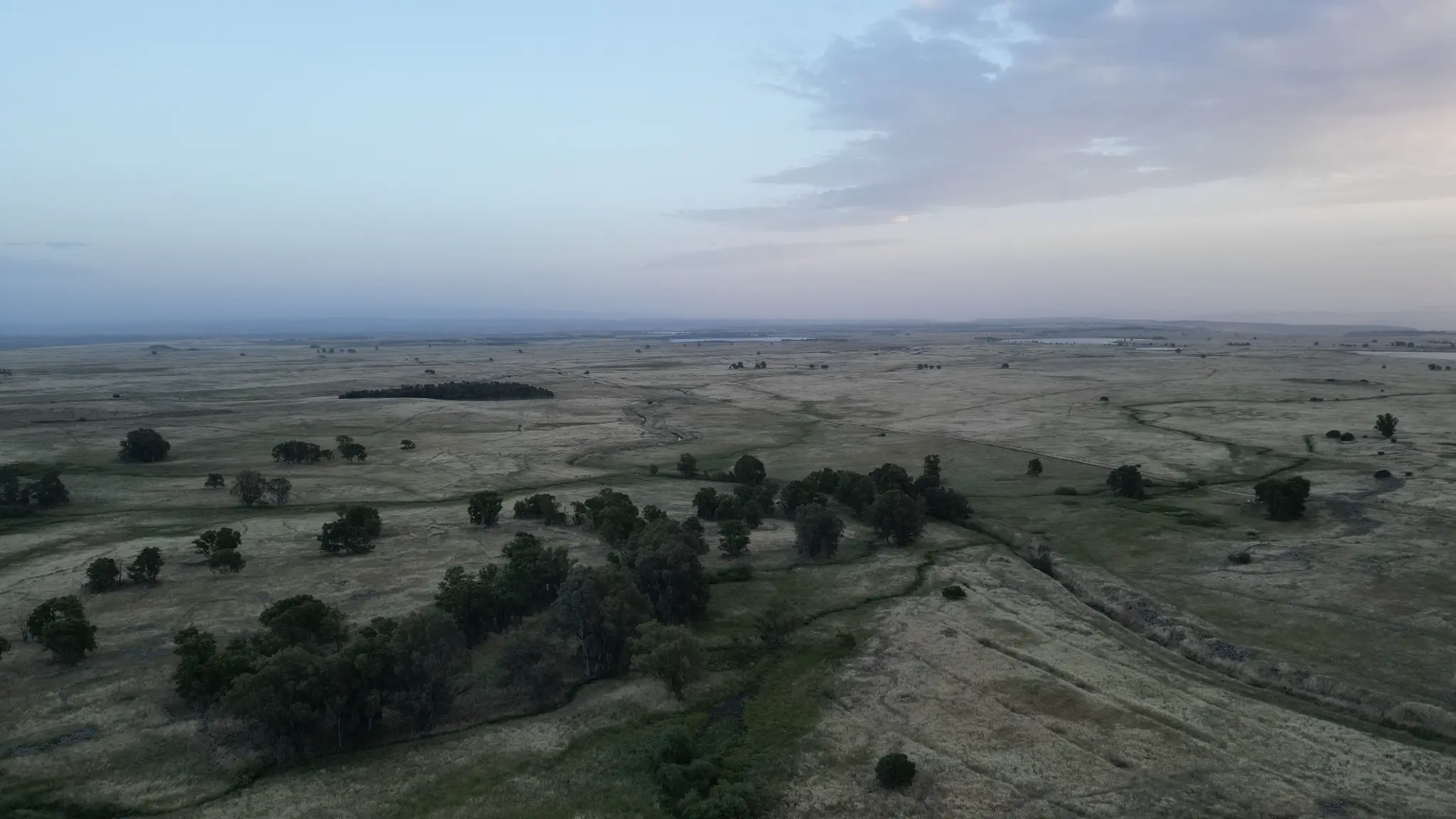
Sunset Over the Golan
By the time I reached the area near Rujm al-Hiri, the sun was already low. The hike from the nearest parking area to the stone circles is roughly two hours each way — not something to begin at sunset. I made the practical decision to stay with the landscape rather than attempt a hike I couldn't finish, and I don't regret it. The plateau at that hour was genuinely beautiful: the basalt stones glowing dark against the golden light, the silence broken only by wind.
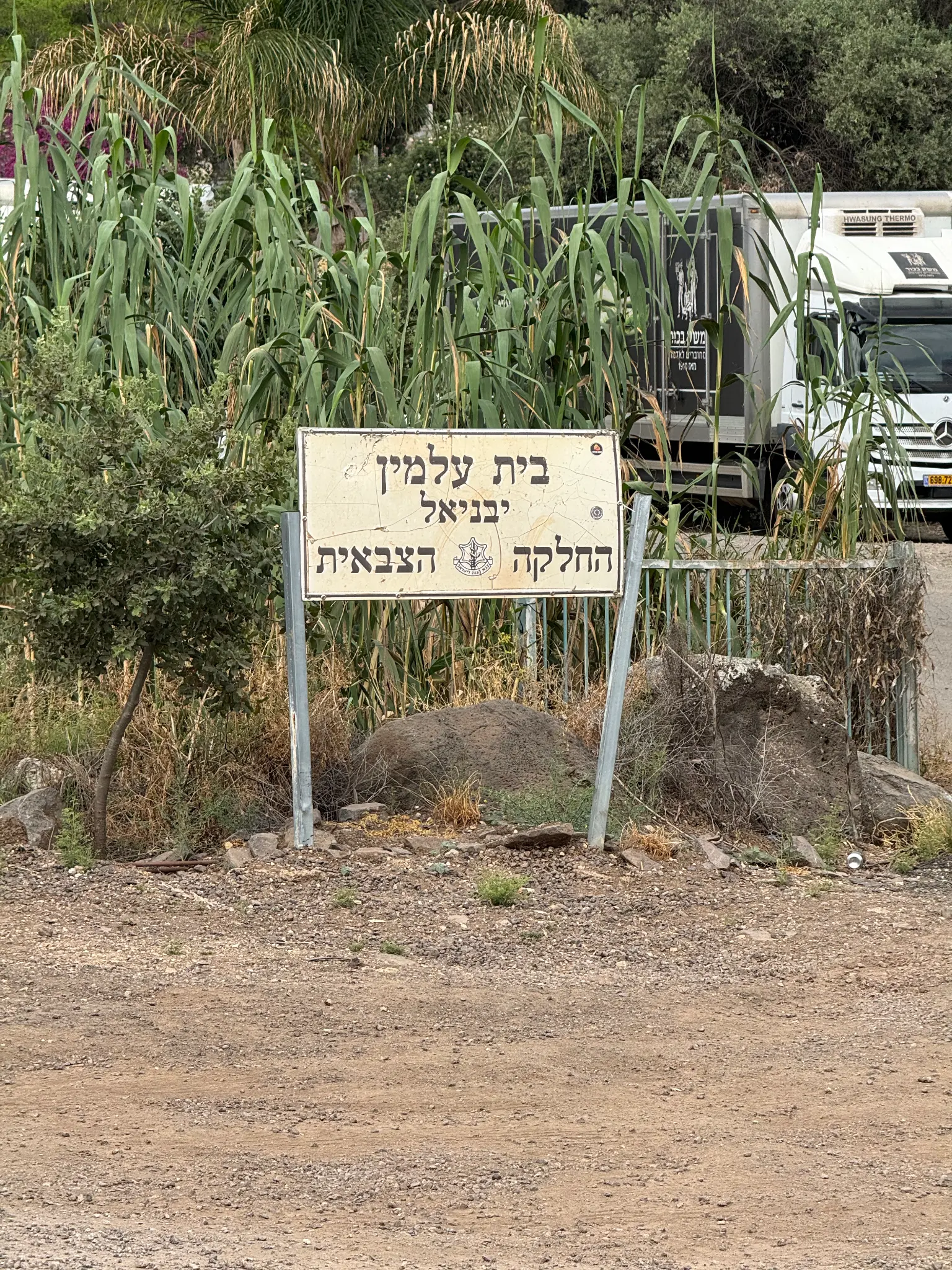
An Overnight in Yavne'el
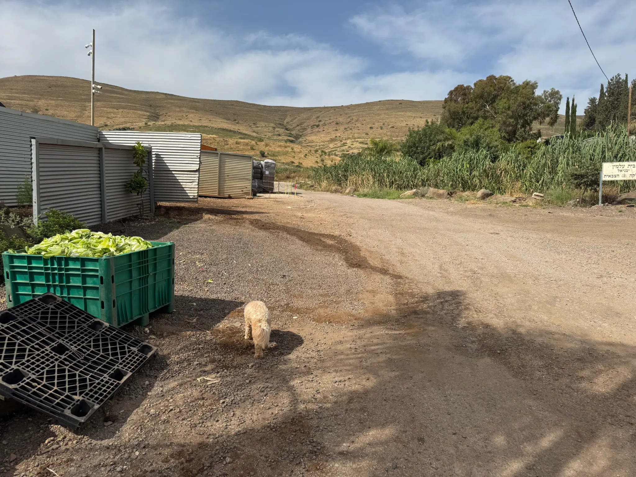
I spent the night in Yavne'el, a moshav founded in 1901 — one of the earliest agricultural settlements of the First Aliyah — situated on the southwestern shore of the Kinneret, the Sea of Galilee. My Airbnb was on the edge of a lettuce farm; through the window I could see workers, apparently from Thailand, loading crates of freshly harvested lettuce into larger containers under floodlights. It was a quietly remarkable scene — the ancient lake visible in the distance, the agricultural machinery humming in the dark, the whole thing feeling both timeless and very much of the present moment.

What I Learned From Not Getting There
The honest answer is: quite a lot. I learned that Route 90 is one of the most geographically and politically instructive drives in Israel — a linear transect through the Jordan Valley that makes the Oslo geography tangible in a way that no map can. I learned that the Golan plateau is more remote and more demanding than I had appreciated, and that a two-hour hike at sunset is not a plan. I learned that AI navigation tools can be confidently wrong about places that exist outside the mainstream tourist circuit.
And I learned — or rather confirmed — that the journey itself is often the point. The white horse. The date palms. The caves near the Adam Crossing. The lettuce farm at the edge of the Kinneret. These are not the things I went looking for, but they are the things I found.
I'll go back. Next time I'll leave at dawn.
Field Notes
- Site: Rujm al-Hiri (Gilgal Refaim), central Golan Heights
- Coordinates: approximately 32°54′N 35°47′E
- Date built: c. 3000–4000 BCE (Chalcolithic to Early Bronze Age)
- Material: ~40,000 tons of volcanic basalt fieldstones
- Outer diameter: ~160 meters
- Access: ~2-hour hike from nearest parking area; no organized tourist infrastructure
- Route taken: Beit Shemesh → Route 1 (Jerusalem) → Route 90 (Jordan Valley) → Golan Heights
- Overnight: Yavne'el moshav, southwestern shore of the Kinneret
- Book referenced: They Were Here Before Us — prehistoric humans in Israel